

A Data Driven approach for Vegetation Management.
Catering to the specific needs of Fire Districts, Cities, and Municipalities, our Vegetation Mapping, Metric & Reporting service delivers unparalleled analytics for effective vegetation management and hazardous fuel reduction programs.
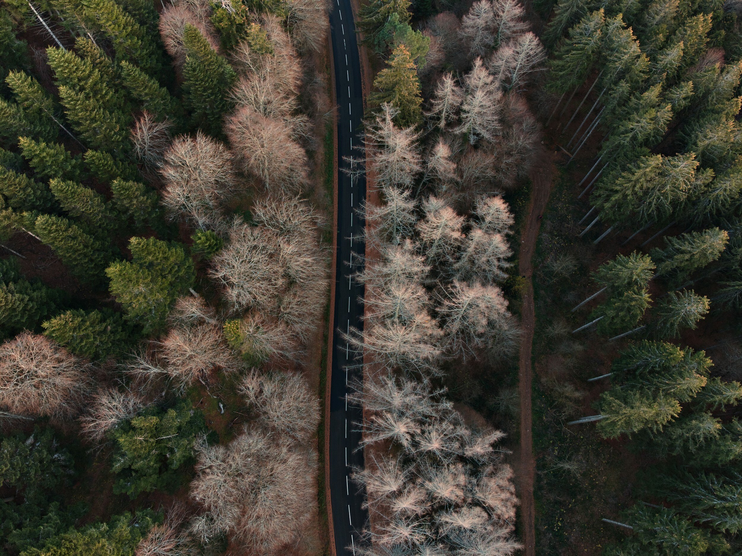
Vegetation Mapping, Metric & Reporting service
Vegetation Analysis & Fuel Modeling
Utilizing advanced drone imagery, our service offers in-depth vegetation analysis and fuel modeling to assess potential fire hazards and fuel loads, essential for strategic fire risk management and emergency preparedness in various landscapes.
BioMass Calculations (Area & Volume)
Our drone technology calculates the biomass of vegetation, providing vital data on changes in area and volume for environmental monitoring and sustainable land management, crucial in managing ecological balance and carbon sequestration.
Invasive Species Identification & Tracking
We can easily identify and tracks invasive plant species using drones, enabling effective management strategies to preserve native ecosystems and reduce fire hazards by preventing biodiversity loss.
Evacuation Route Monitoring
Monitoring the safety of evacuation routes, providing rapid assessment for clear and accessible pathways during emergencies, an essential tool for urban planners and emergency managers.
Infrastructure identification
Using high-resolution drone imagery, we identify and map infrastructure within vegetation-covered areas, pivotal for urban planning and ensuring safety in relation to surrounding vegetation.

Tree Species Identification
Our service accurately identifies tree species over large areas, providing valuable data for urban forestry management, biodiversity studies, and promoting sustainable urban development.
Monitor, measure and manage your vegetation programs
