
Understanding Photogrammetry Mapping: An Educational Overview
Introduction to Photogrammetry Mapping
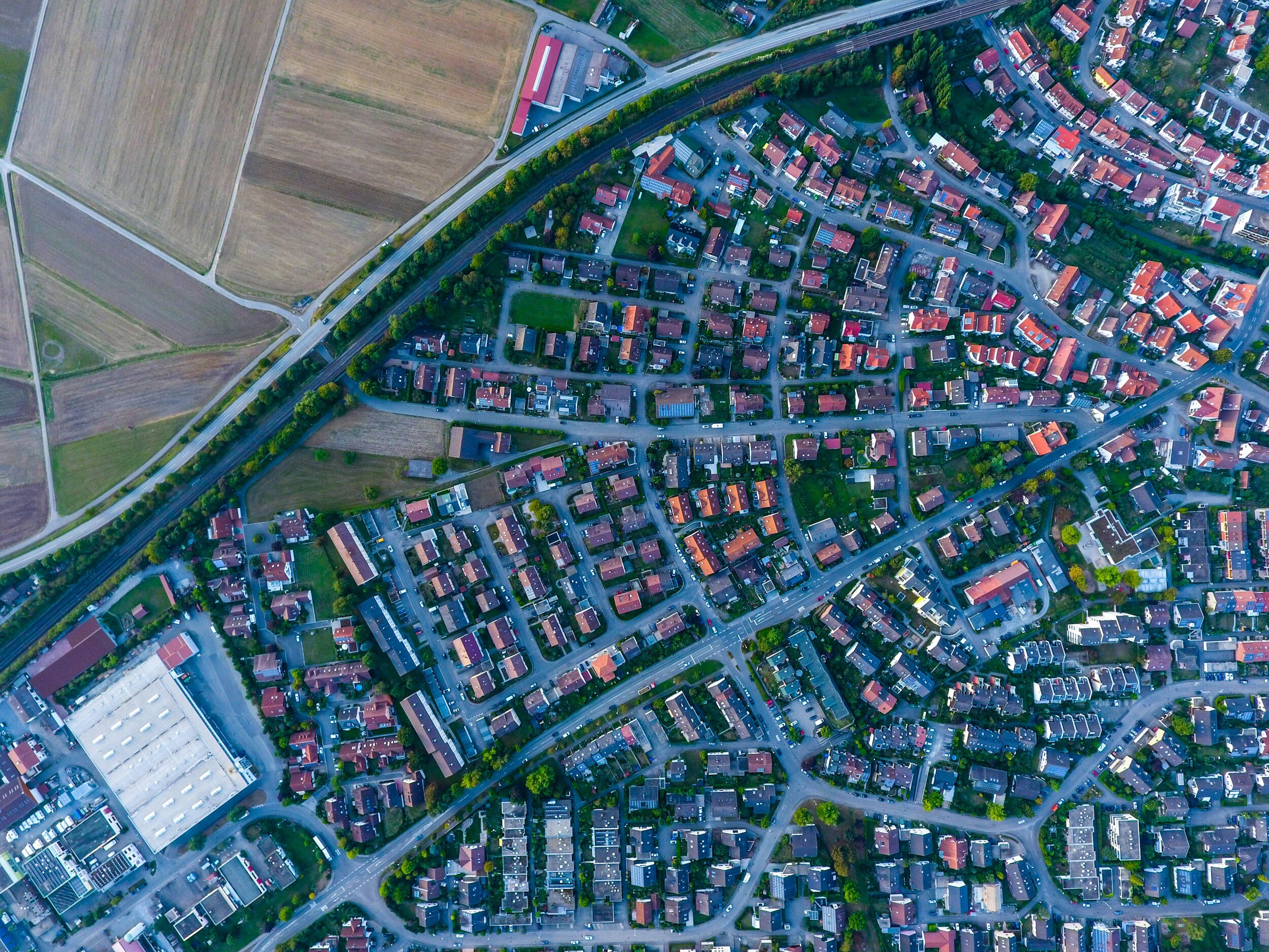
Photogrammetry mapping is a captivating and groundbreaking technique that merges photography and geometry to measure distances and produce maps. It involves capturing images from multiple angles and using them to make precise measurements. This method has positively disrupted fields such as topography, architecture, archaeology, engineering, and more, by enabling detailed and accurate representation of physical spaces in digital form.
How Does Photogrammetry Work?
Image Capture: The process commences with capturing a series of overlapping photographs of an object, area, or site from different angles. This can be achieved using cameras mounted on airplanes, drones, or handheld devices.
Point Matching and 3D Modeling: Specialized software then analyzes these images to identify common points in multiple photographs. By utilizing these points, it constructs a three-dimensional model of the subject through triangulation.
Data Processing: The 3D model is subsequently processed to generate detailed maps, plans, or drawings. This data serves numerous applications, ranging from creating topographical maps to designing intricate architectural projects.

Advantages of Photogrammetry
Photogrammetry, the science of making measurements from photographs, offers several key advantages in various fields:
Accuracy and Precision: Photogrammetry provides highly accurate measurements and detailed models, making it a valuable tool for industries such as construction, land surveying, and environmental monitoring.
Cost-Effective: By utilizing aerial photography and advanced software, photogrammetry reduces the need for expensive ground surveying equipment, lowering overall project costs while maintaining high accuracy.
Time Efficiency: Capable of capturing large areas in a relatively short amount of time, photogrammetry significantly expedites the data collection process. This is particularly beneficial for large-scale projects, such as mapping extensive landscapes or monitoring infrastructure developments.
Non-Invasive: In sensitive areas like archaeological sites or ecological reserves, photogrammetry minimizes the impact on the surveyed site by eliminating the need for physical contact or disturbance. This non-invasive approach is essential for preserving historical sites and delicate ecosystems.
In conclusion, the precision, cost-effectiveness, time efficiency, and non-invasive nature of photogrammetry make it a highly versatile and valuable tool for a wide range of applications, from urban planning to conservation efforts.